Geographic Class Activities
Tabletop Puzzle Maps
Download Maps HERE!

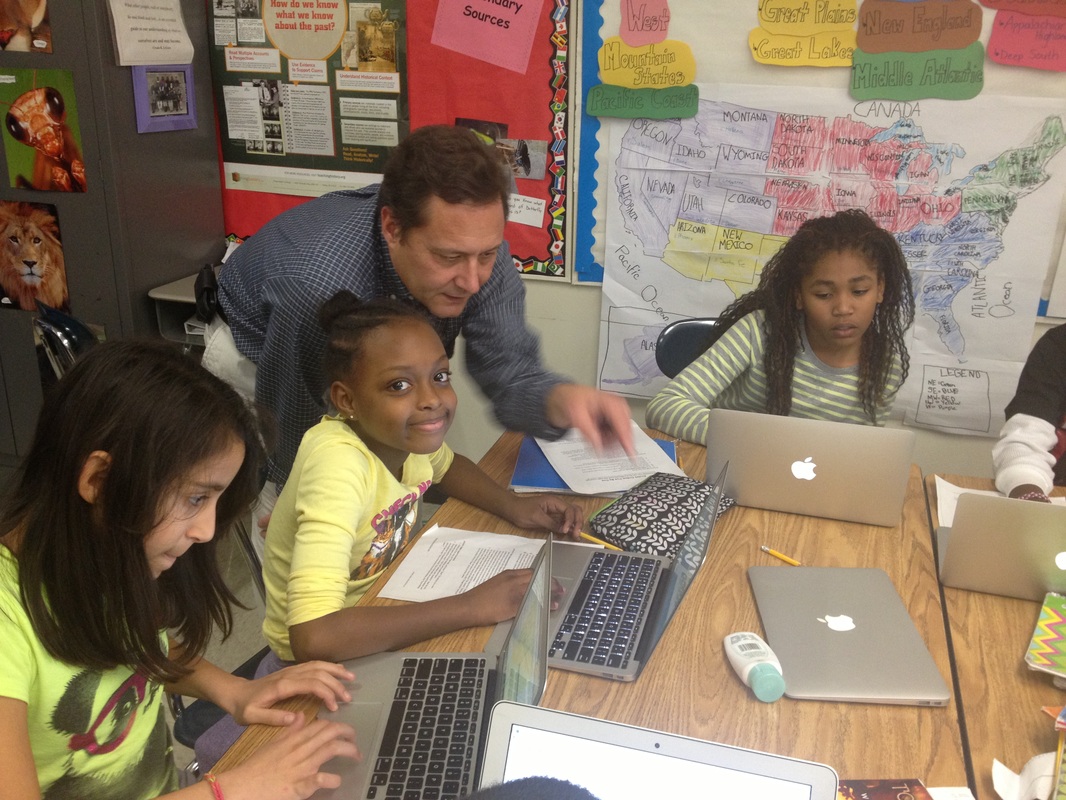
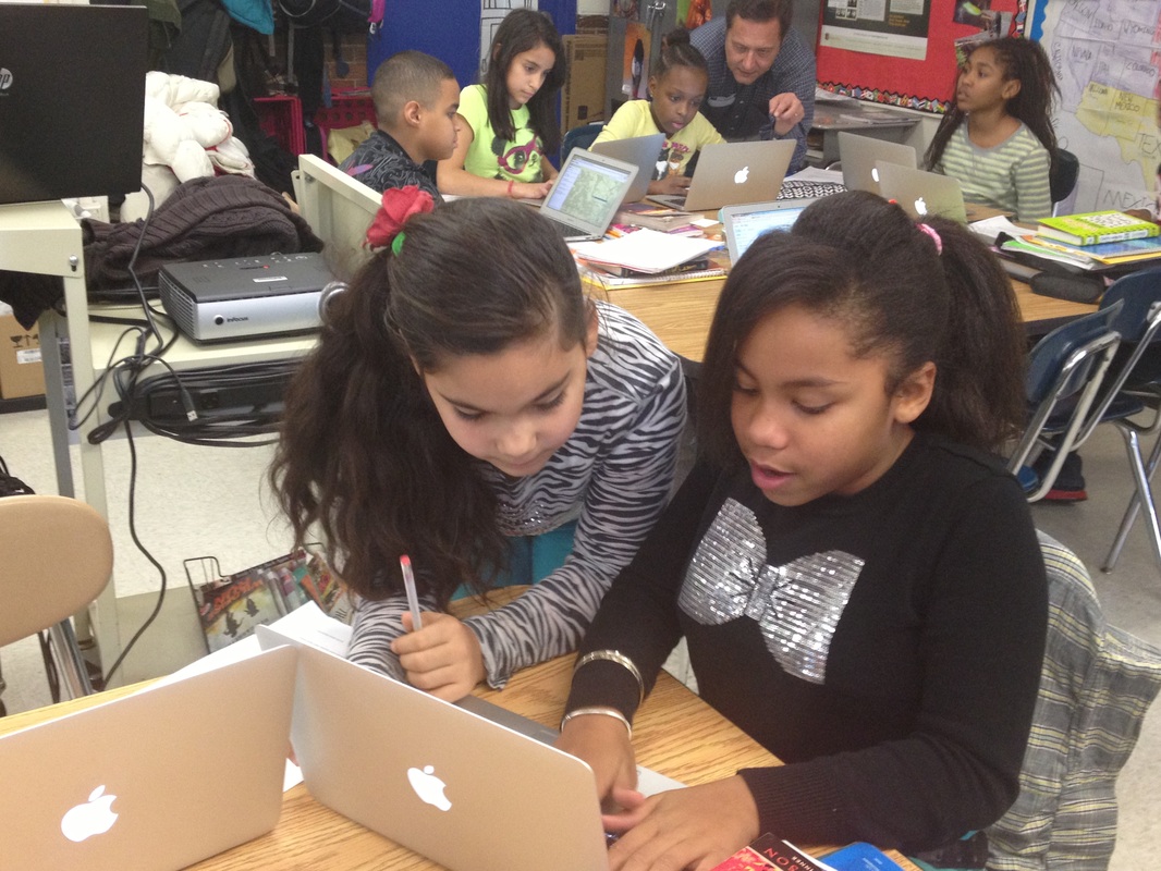
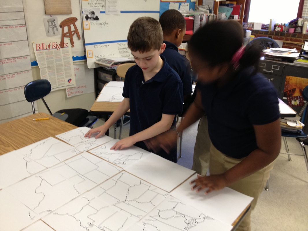
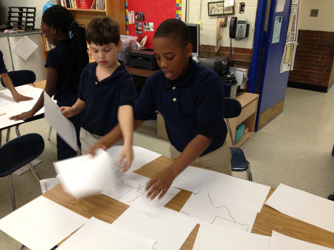
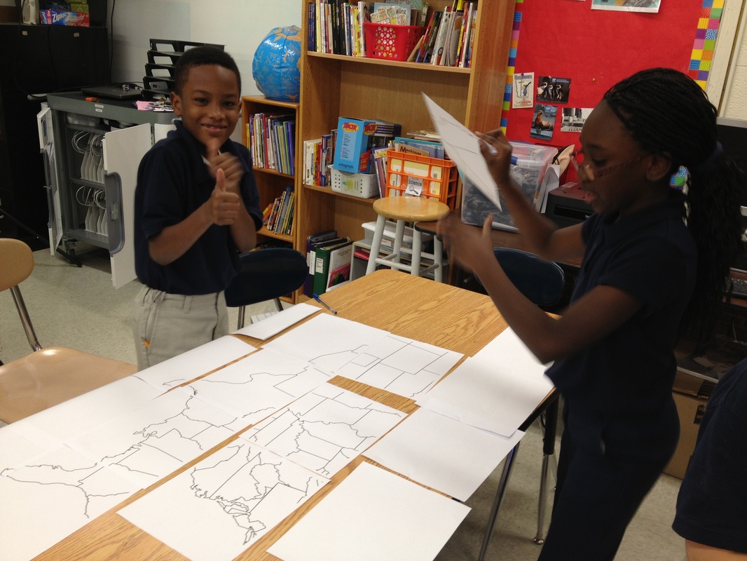
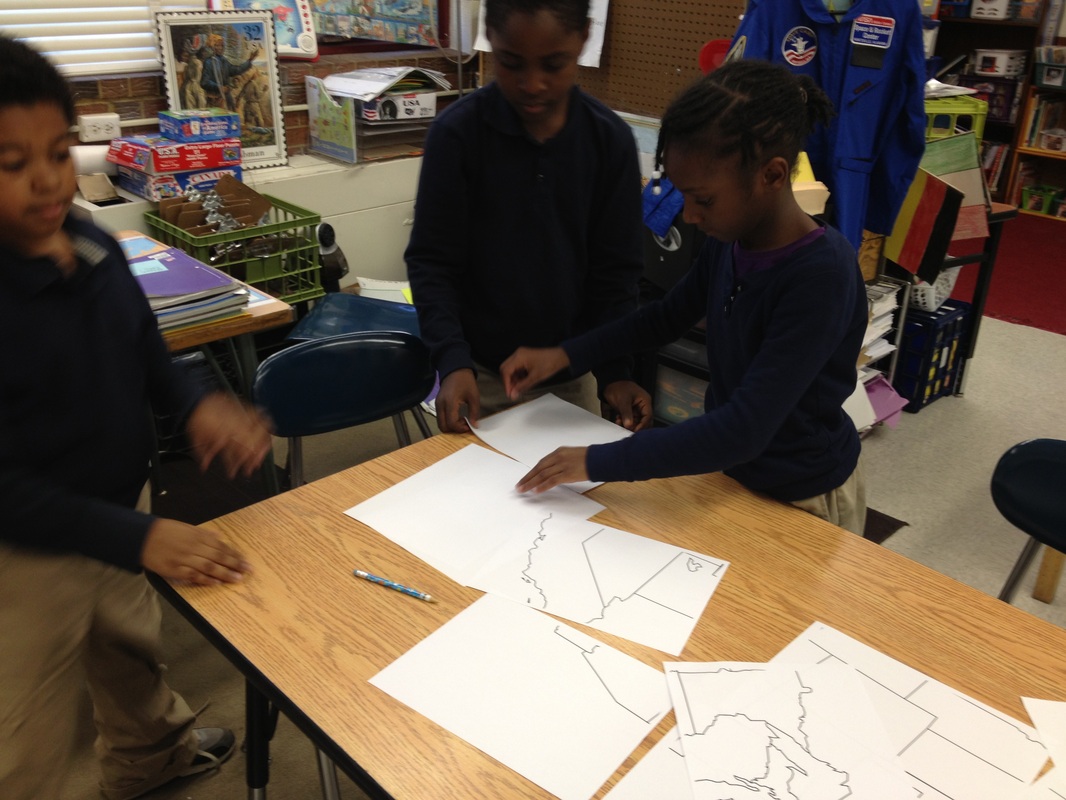
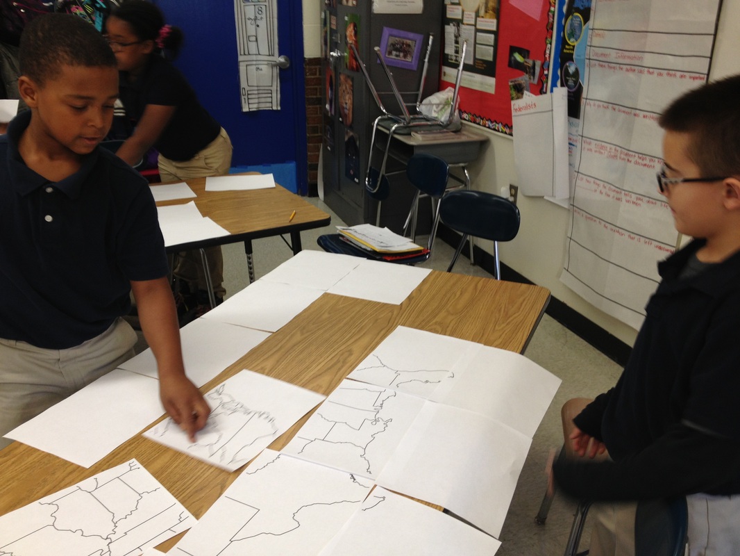
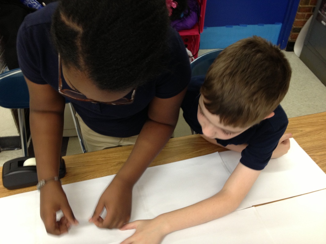
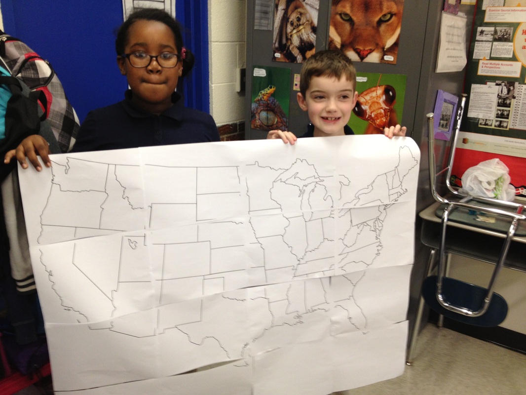
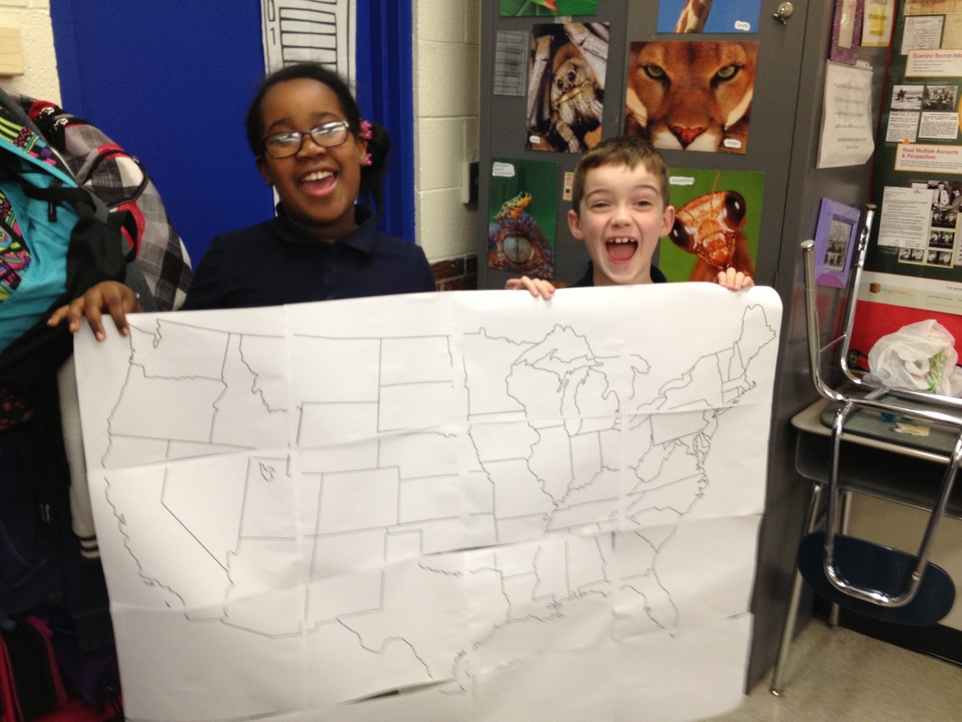
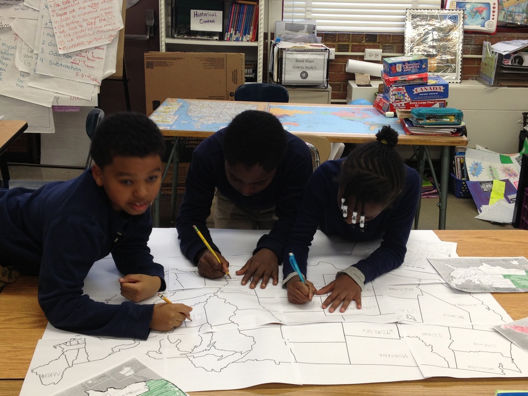
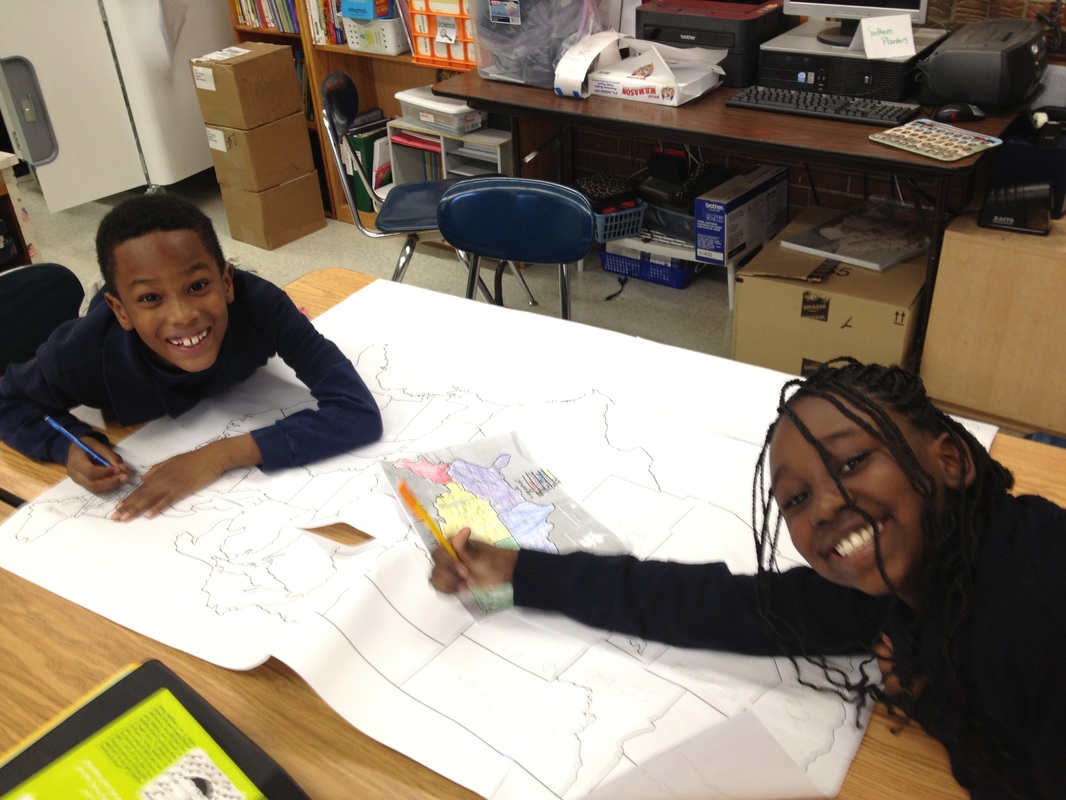
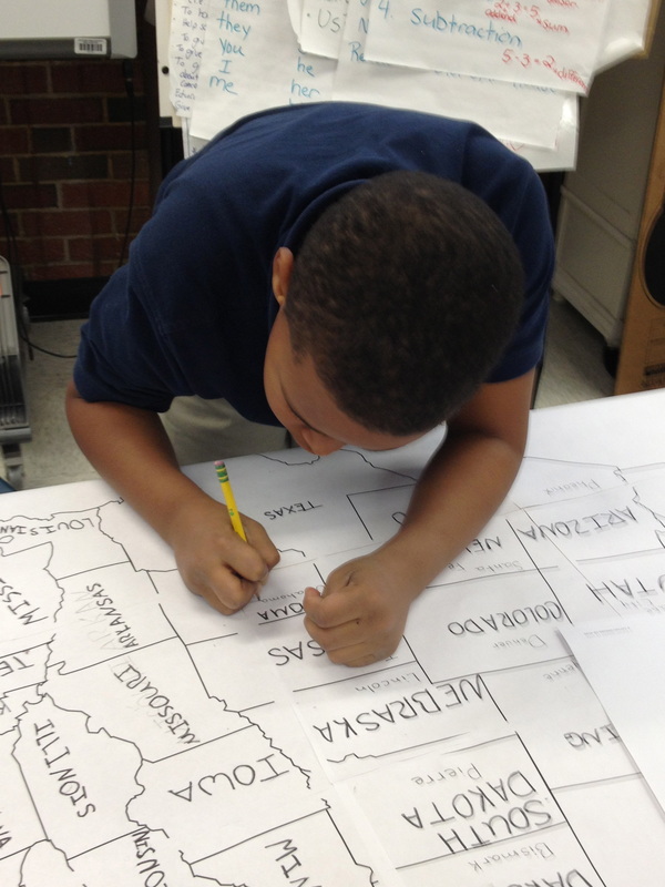
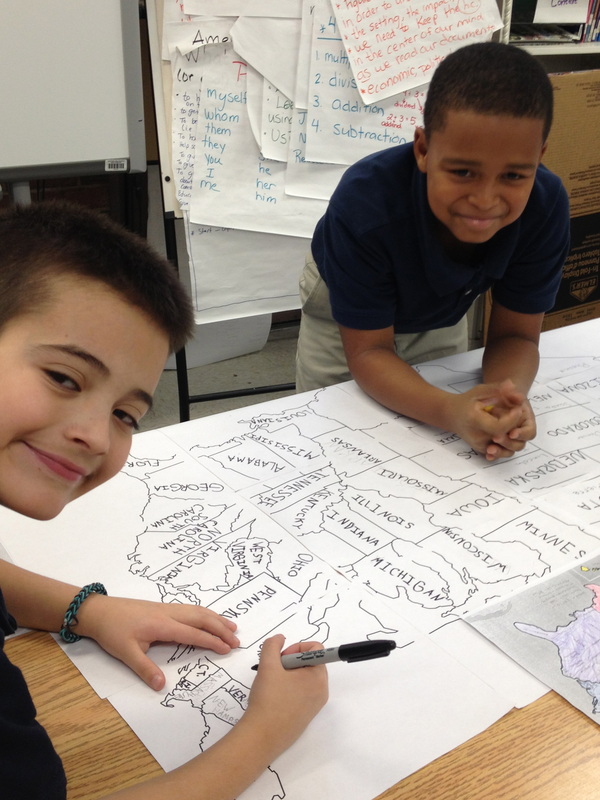
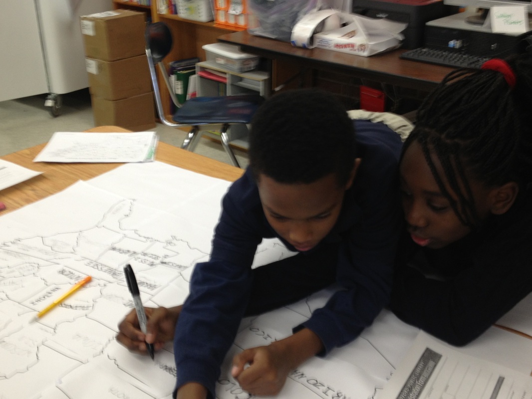
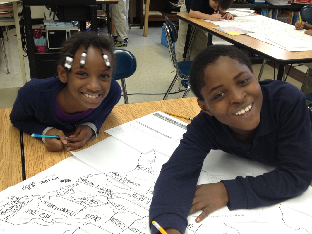
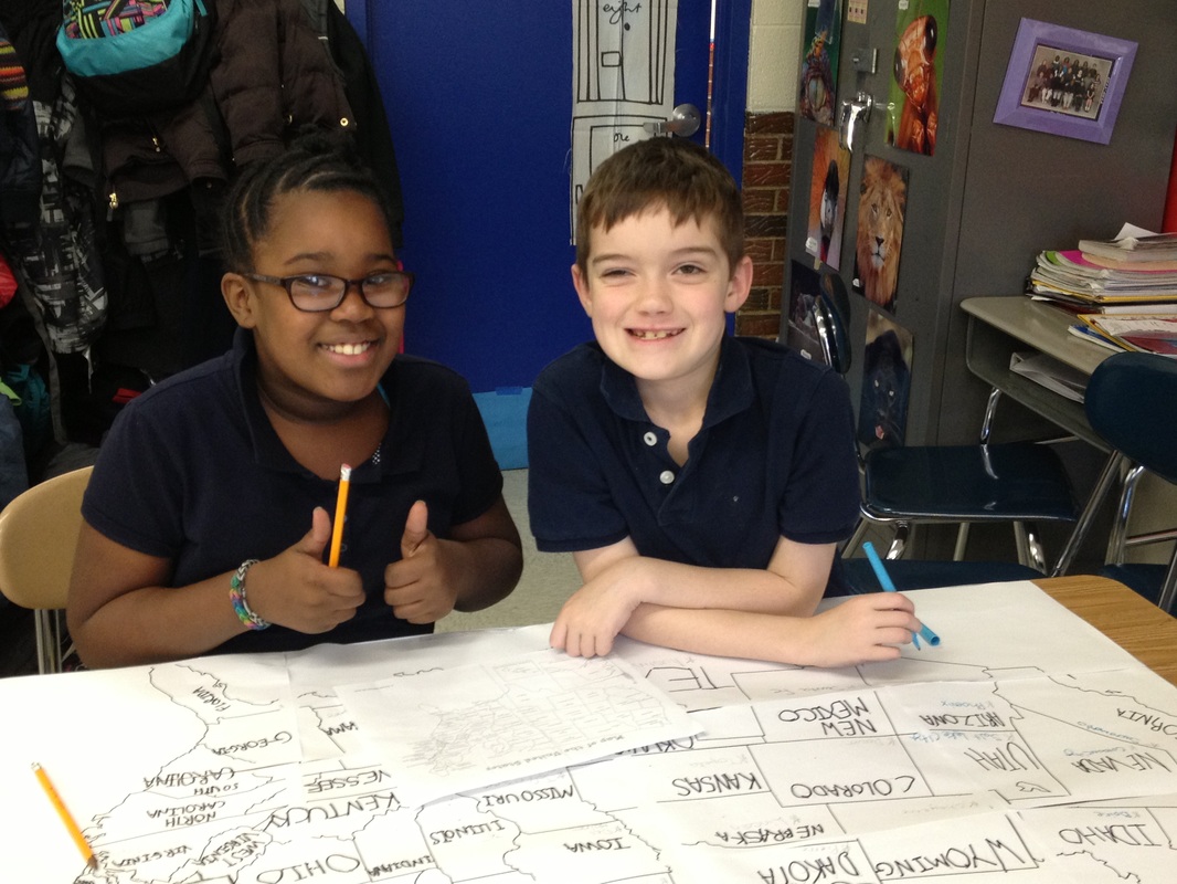
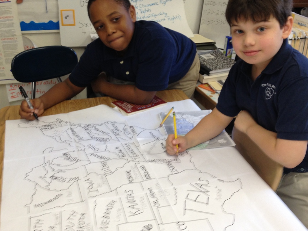
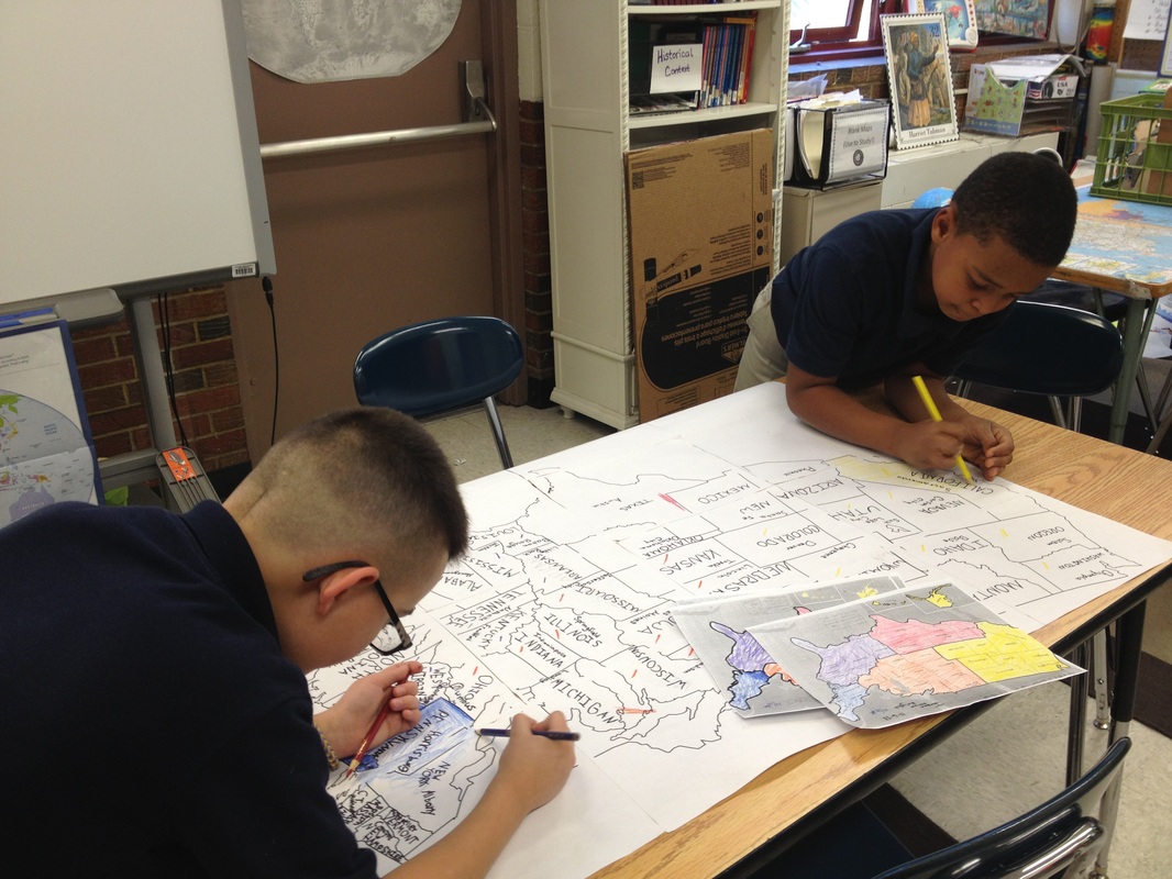
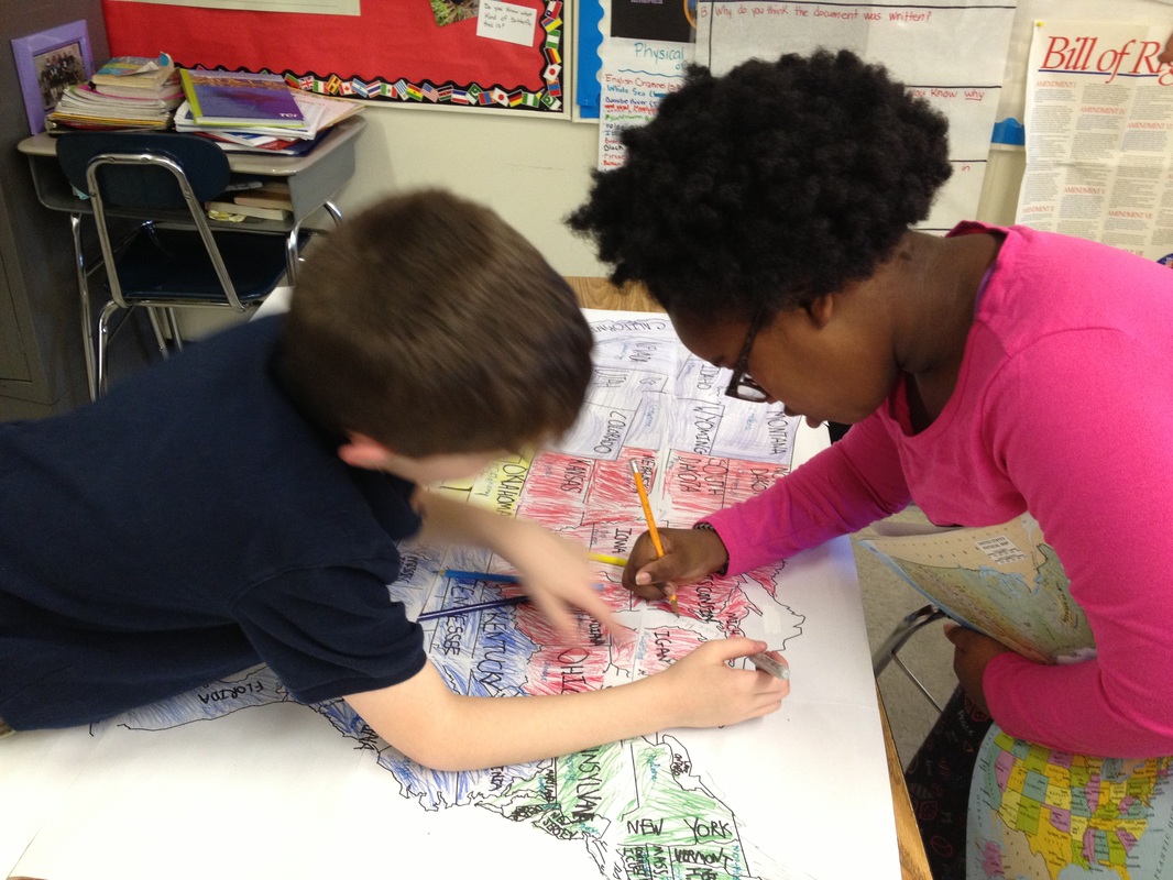
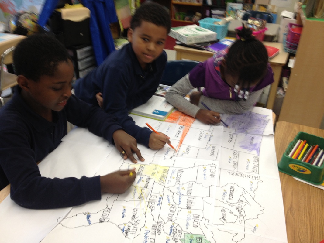
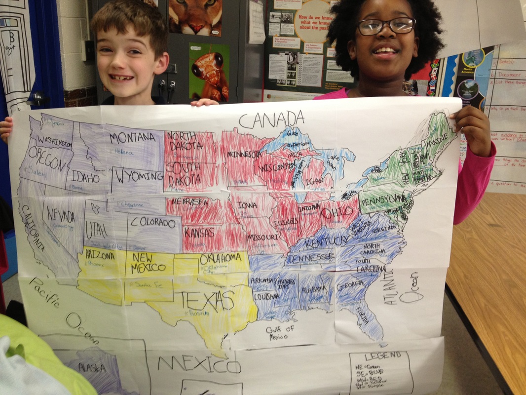
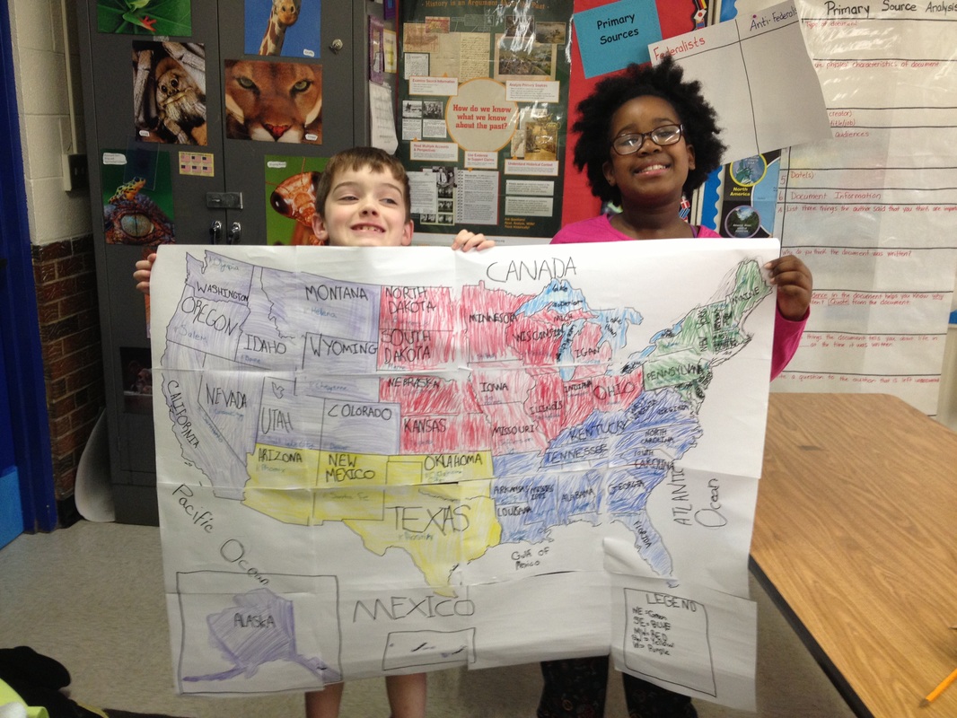
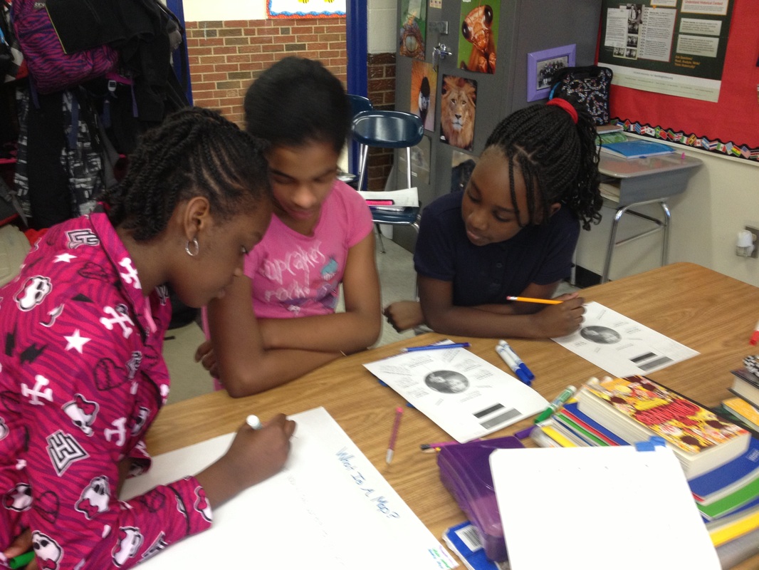
4th graders construct and label a map of the United States for a lesson on Regions. (See more photos of students working below.)
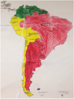
5th graders create wall maps of South America. 
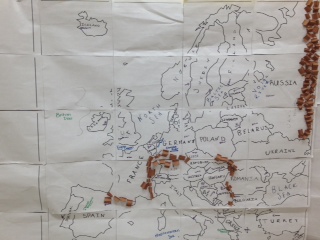
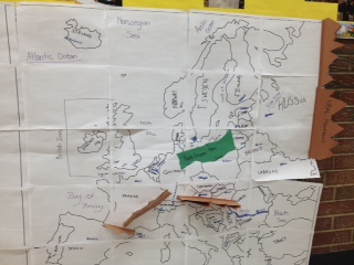
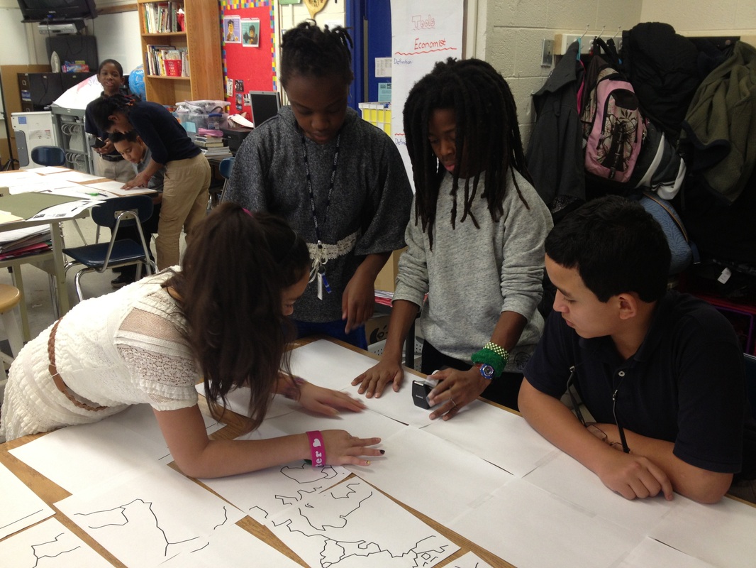
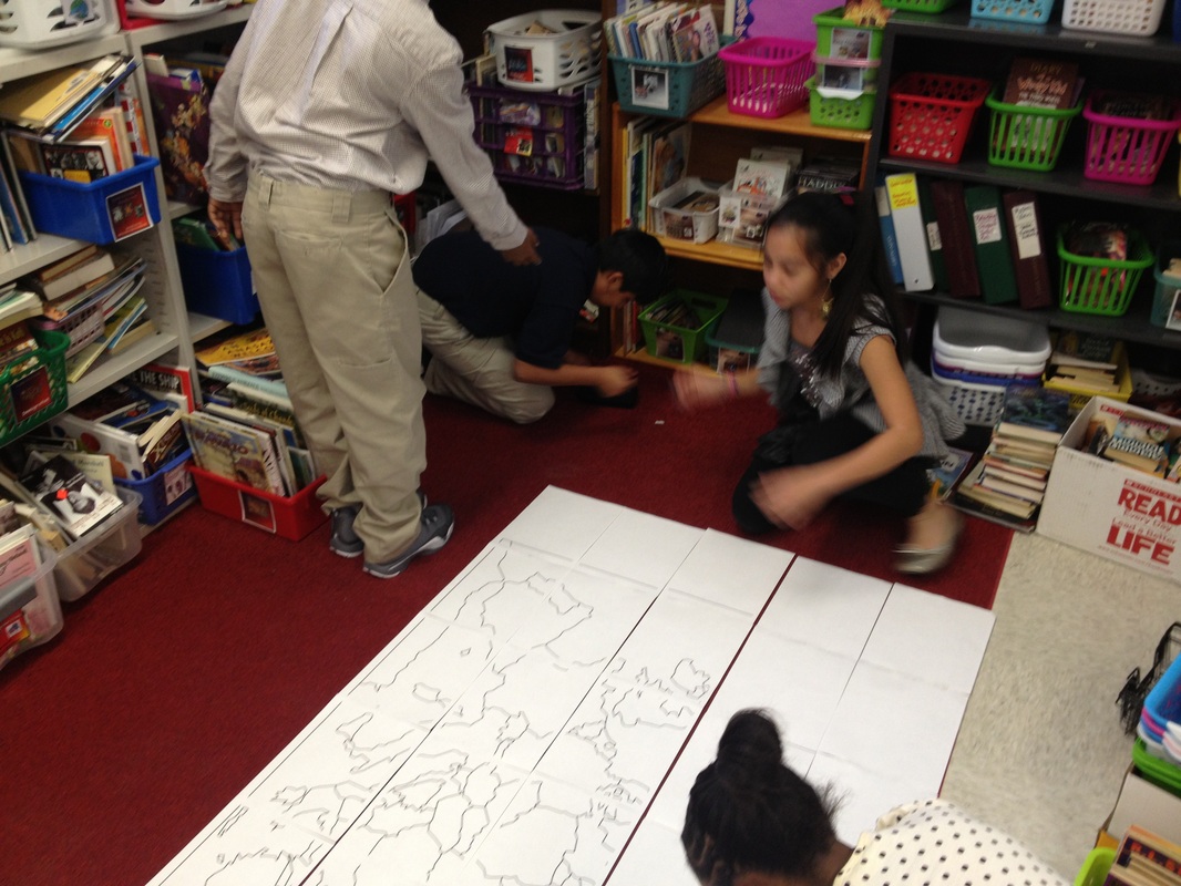
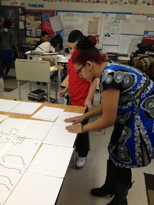
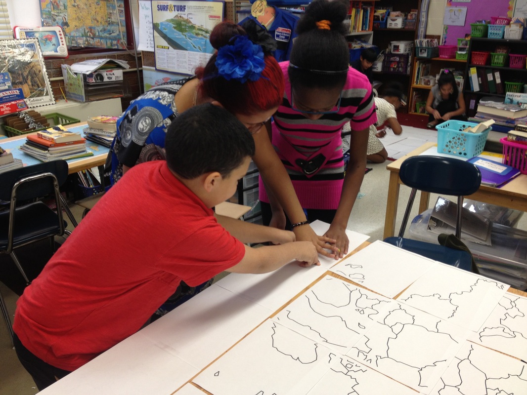
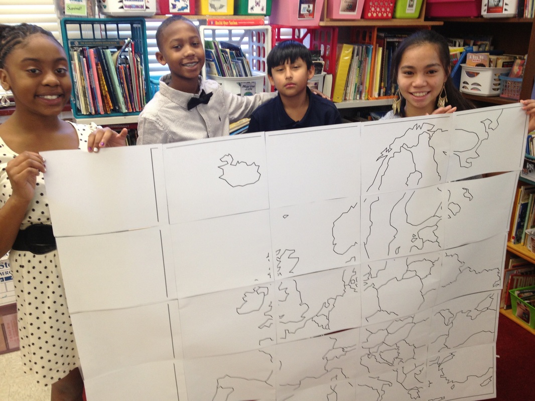
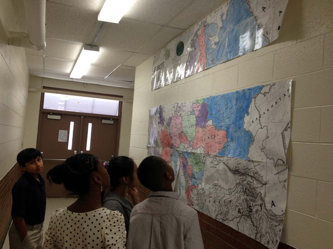
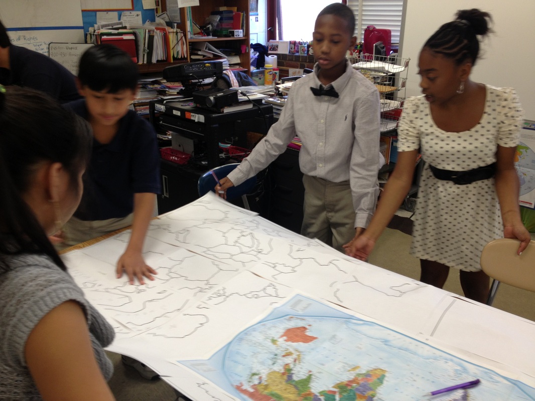
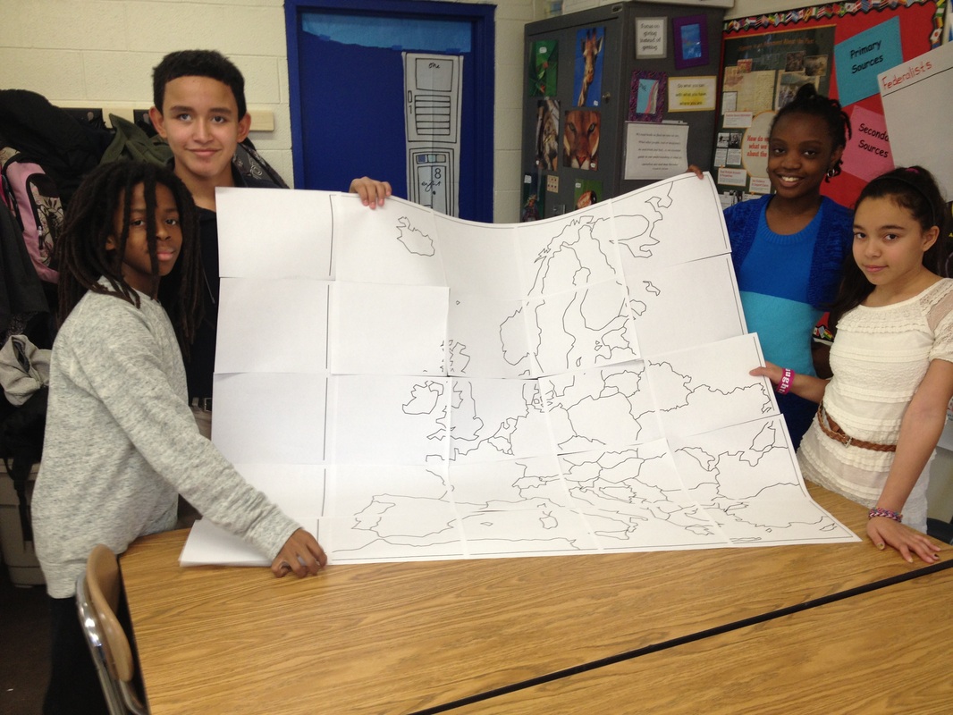
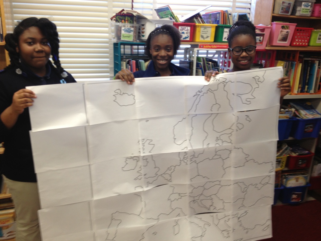
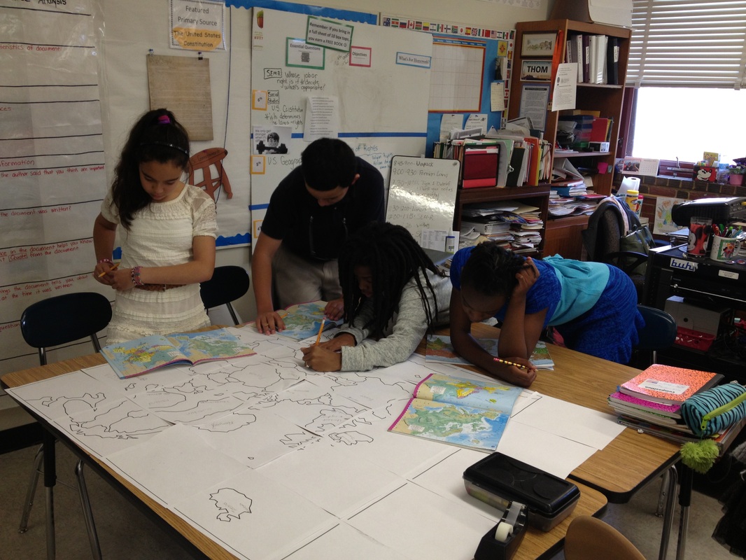
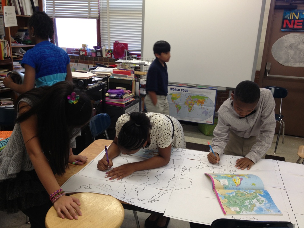
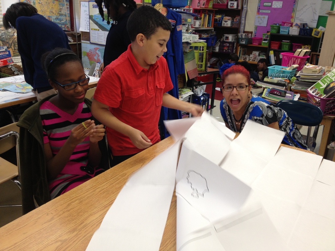
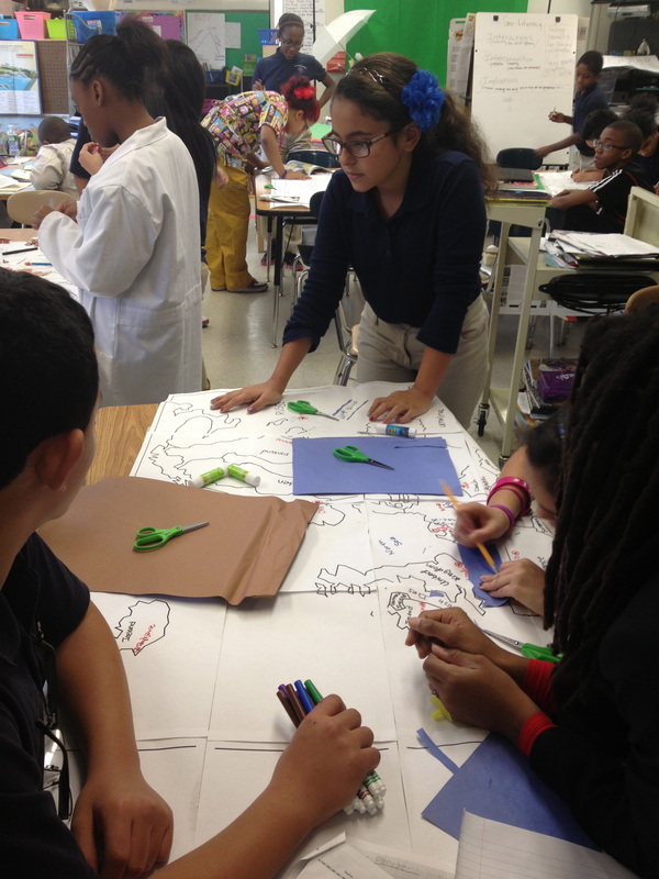
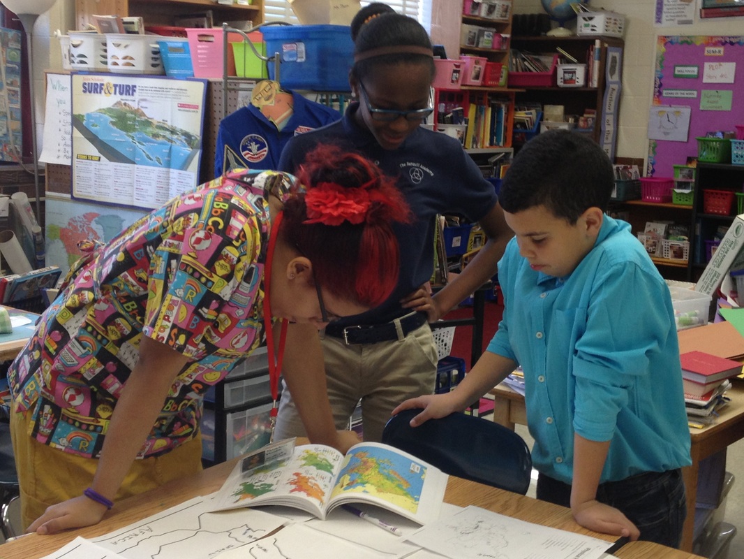
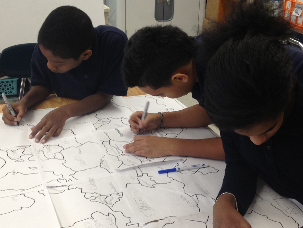
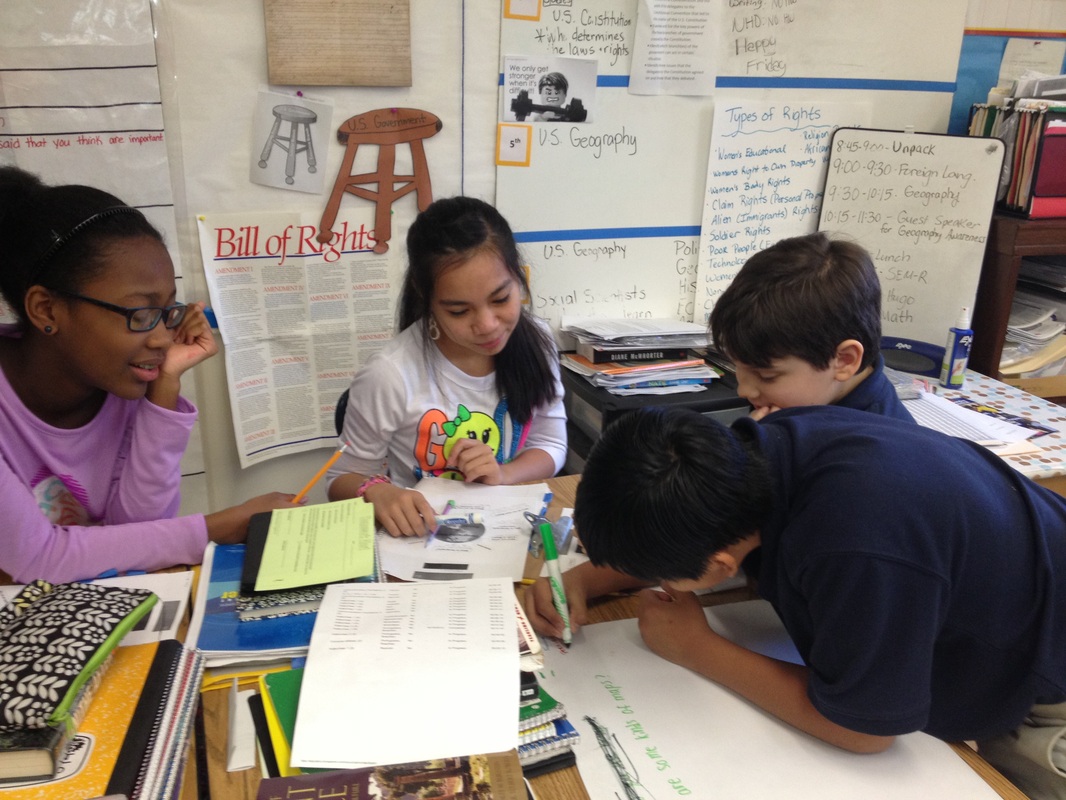
6th graders create wall maps of Europe.(See more photos of students working below.) |
4th Grade:
|
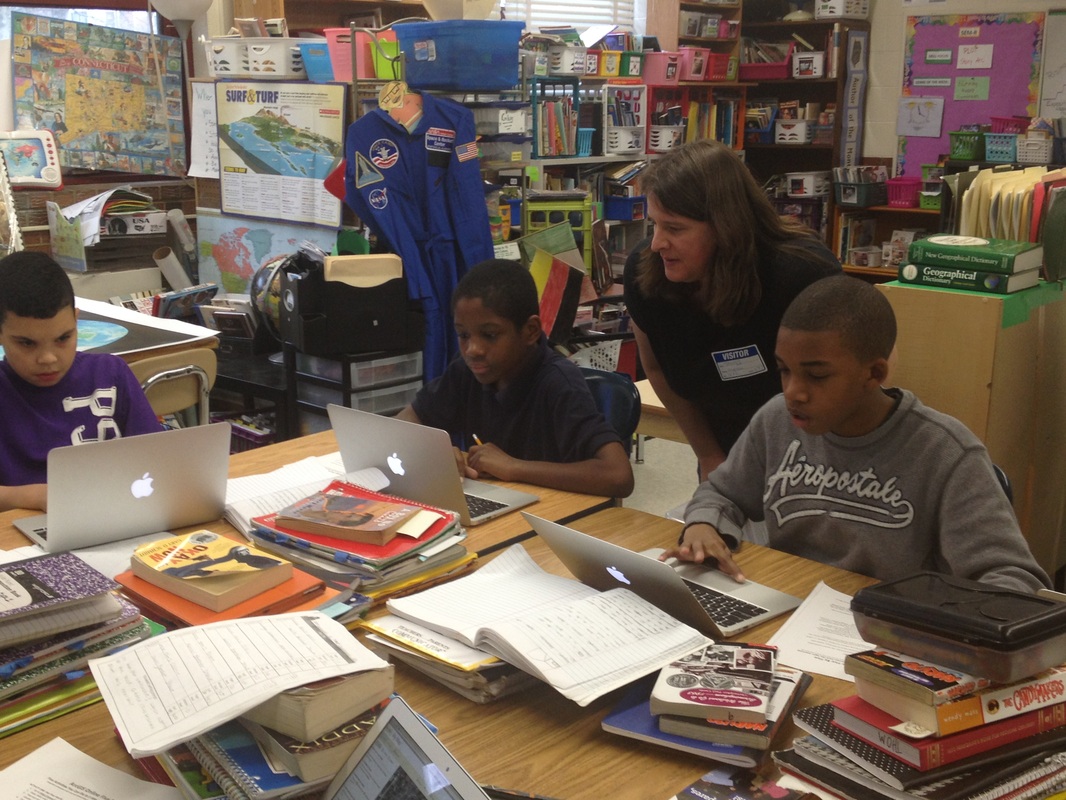
4th Grade Photos
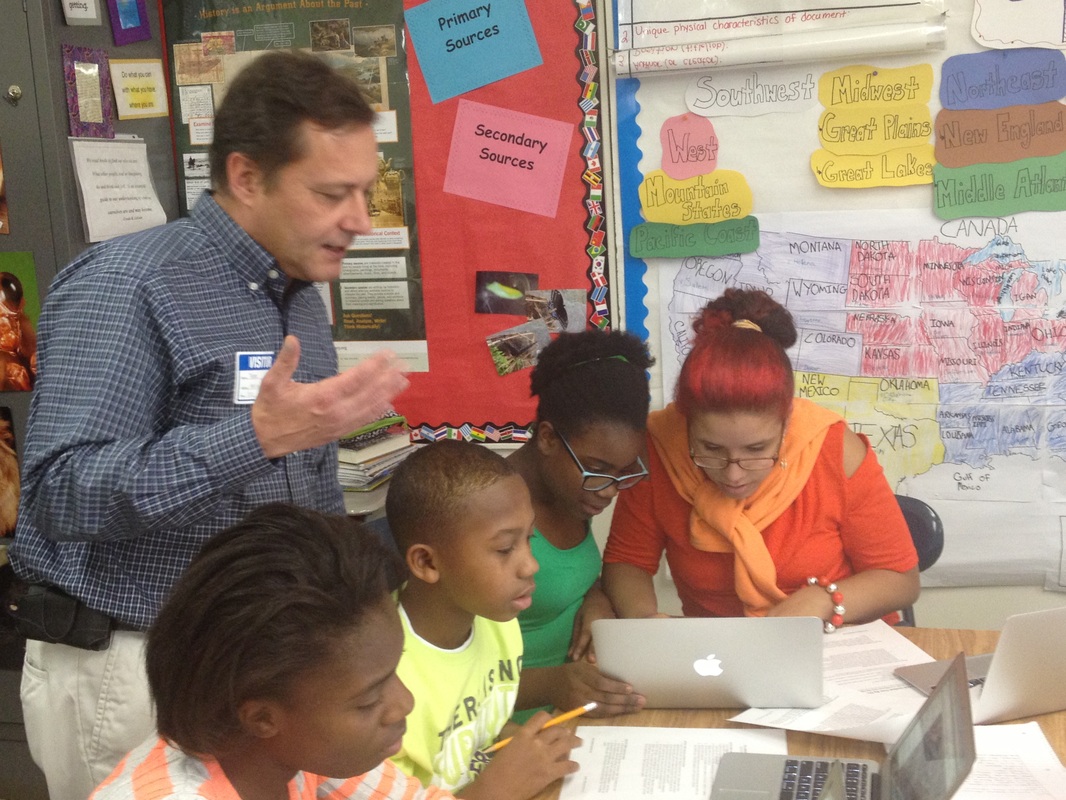
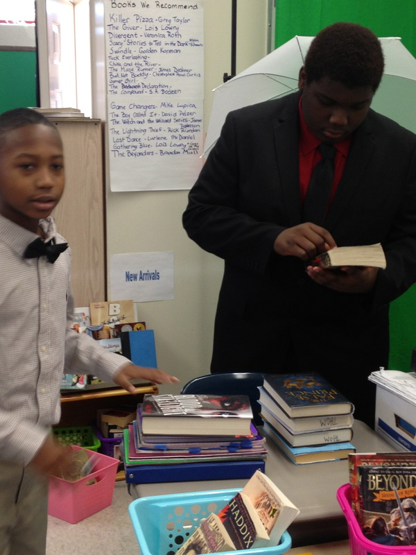
6th Grade Photos

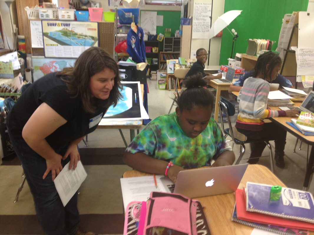
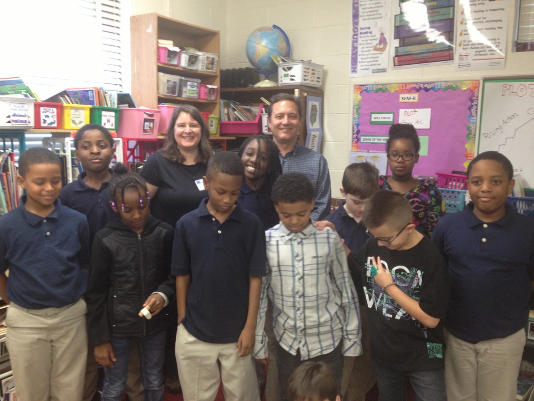
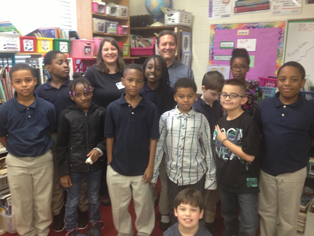
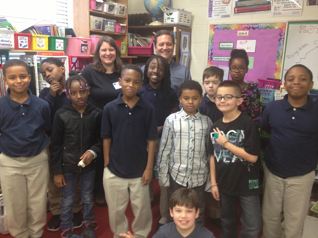
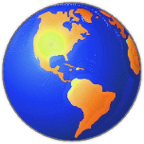
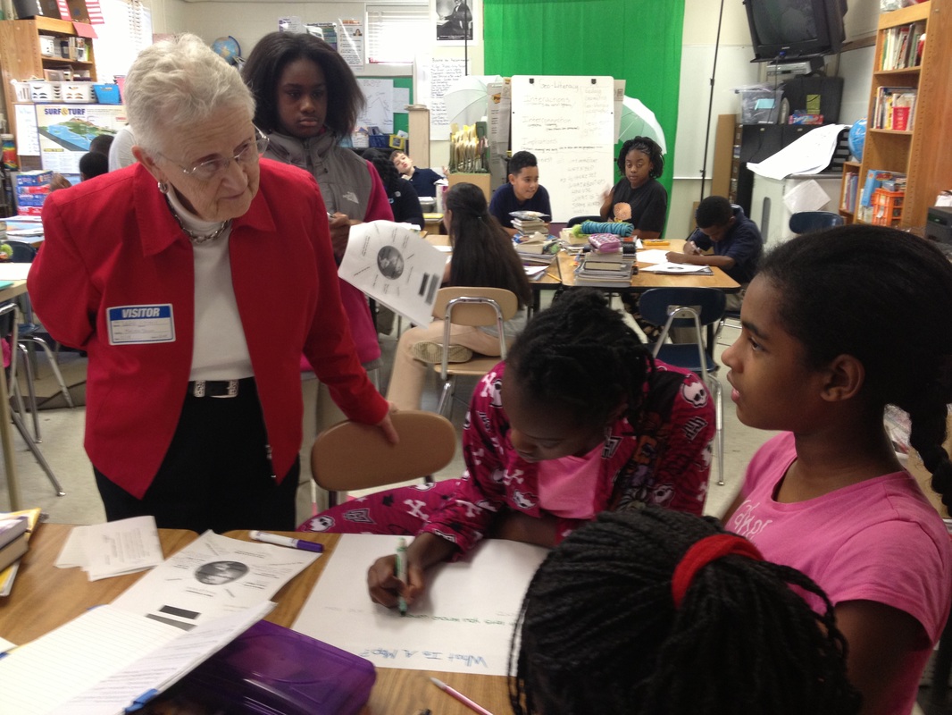
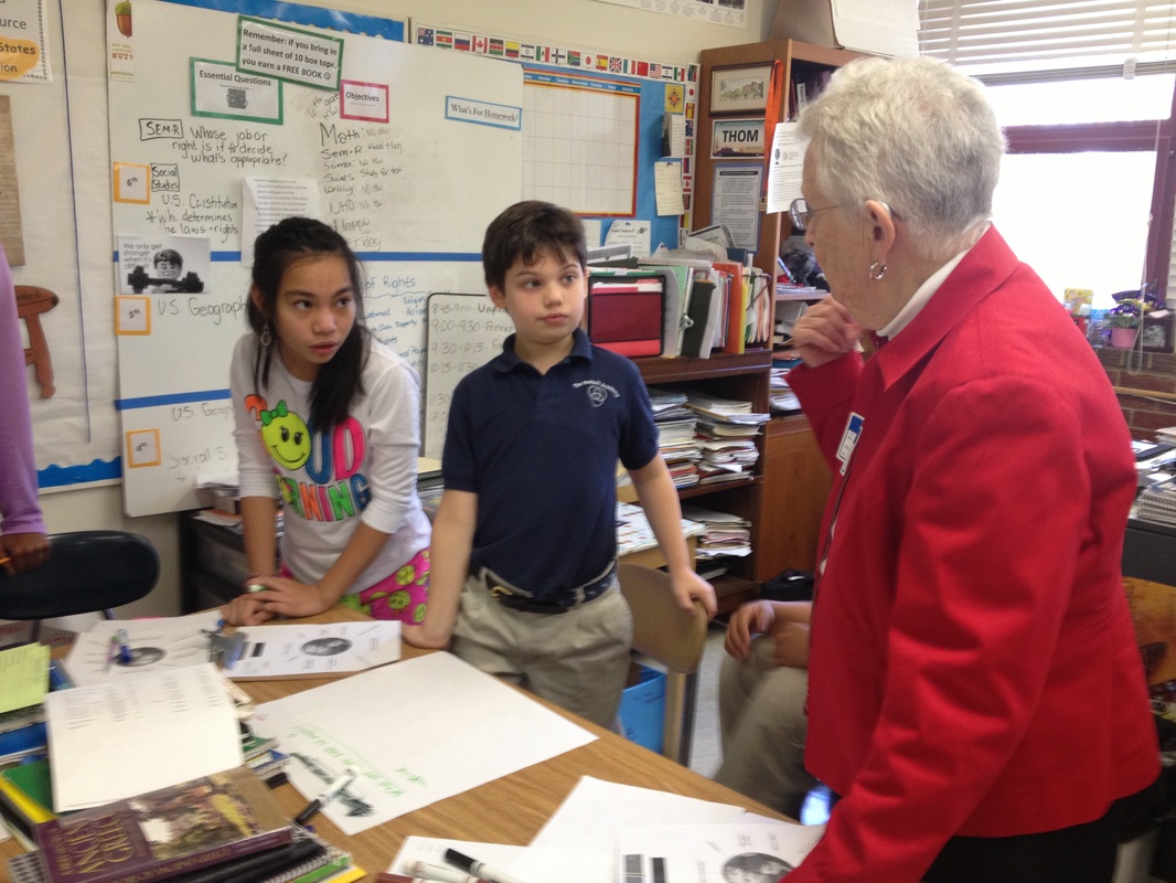
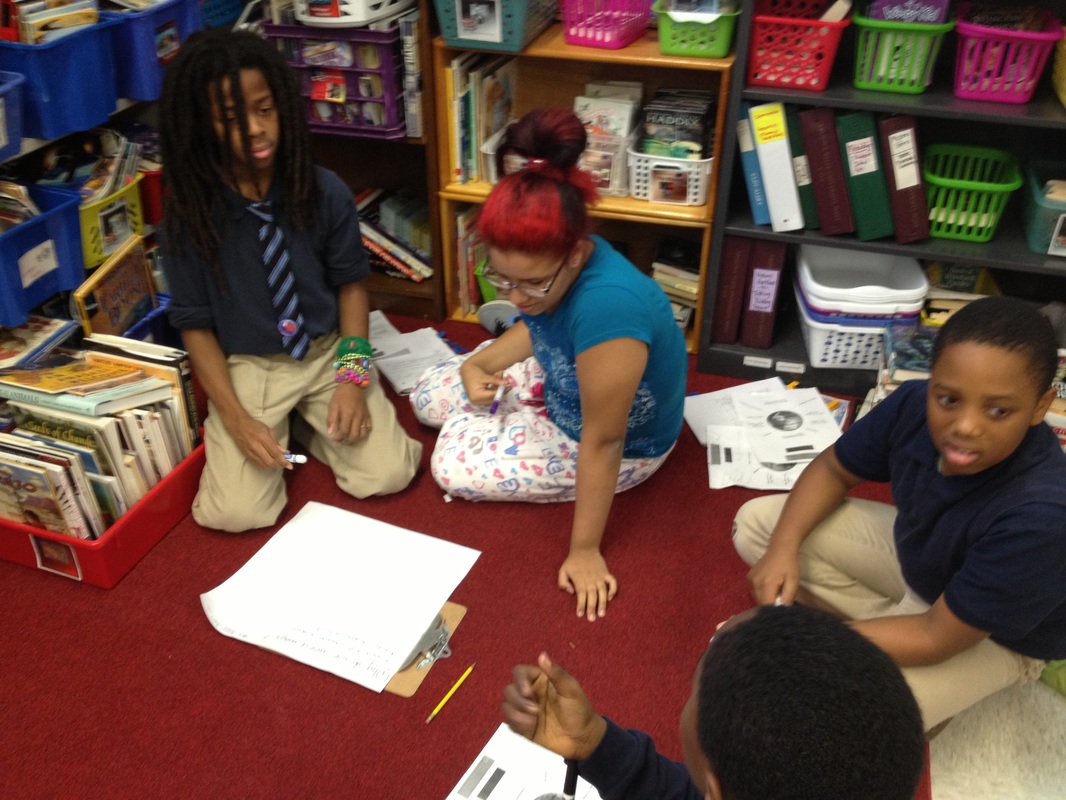
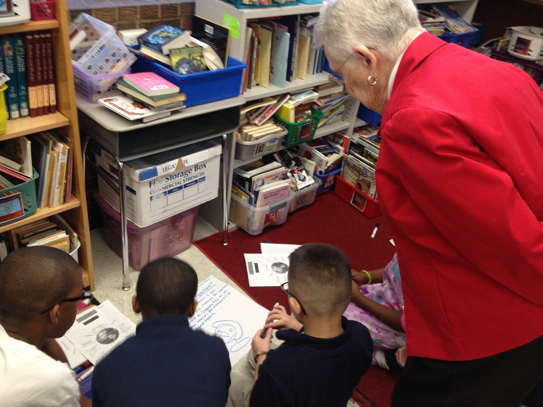
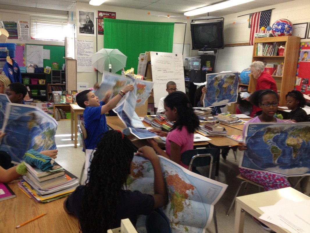
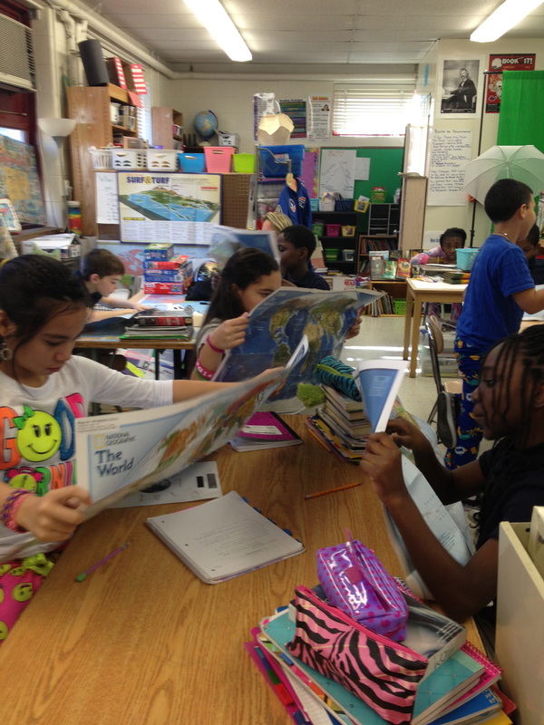
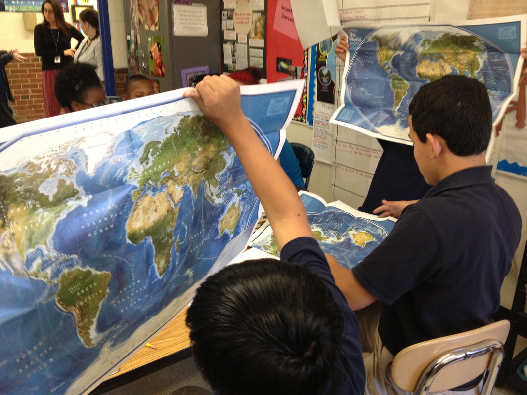
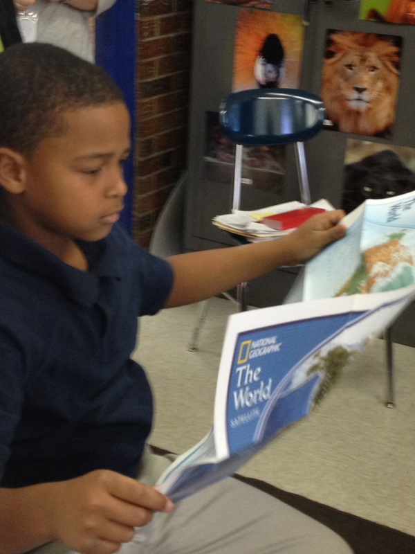
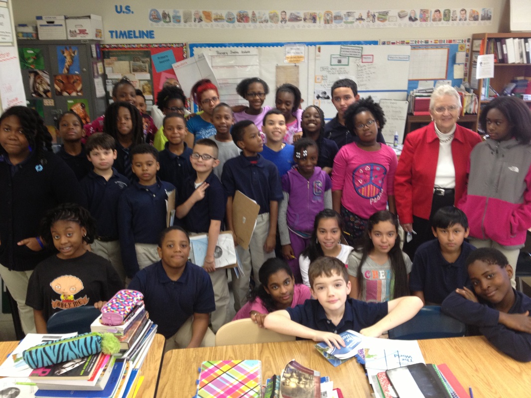
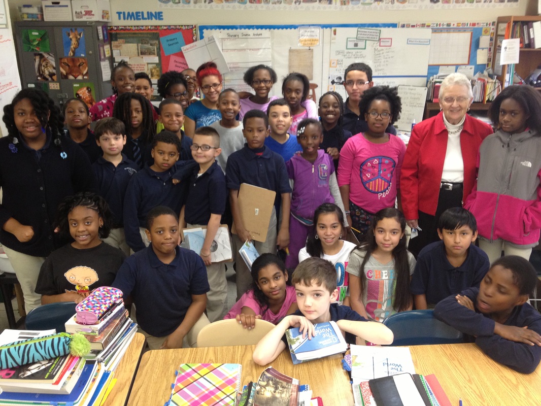
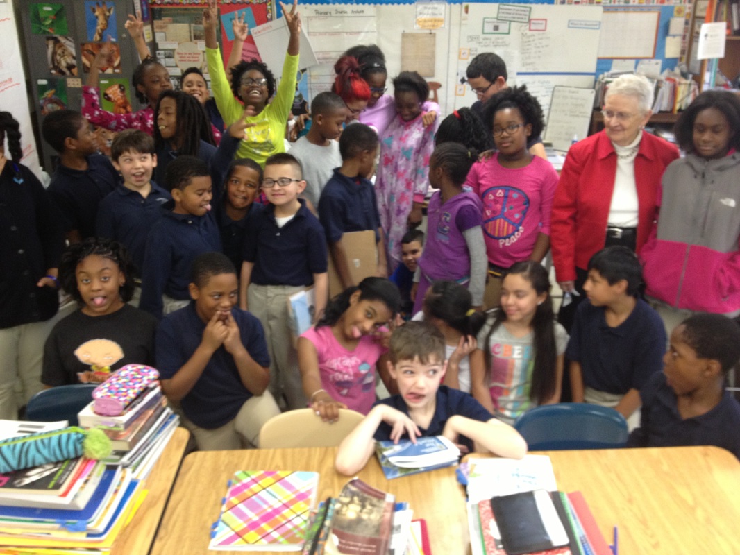
Dr. Lou Loomis and the
Importance of Maps in Our World
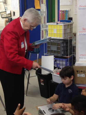
Dr. Lou Loomis leads a jigsaw activity where students consider a variety of geographic ideas. Each student is presented with a world map at the end!
|
Students worked in small groups to discuss the following questions:
|

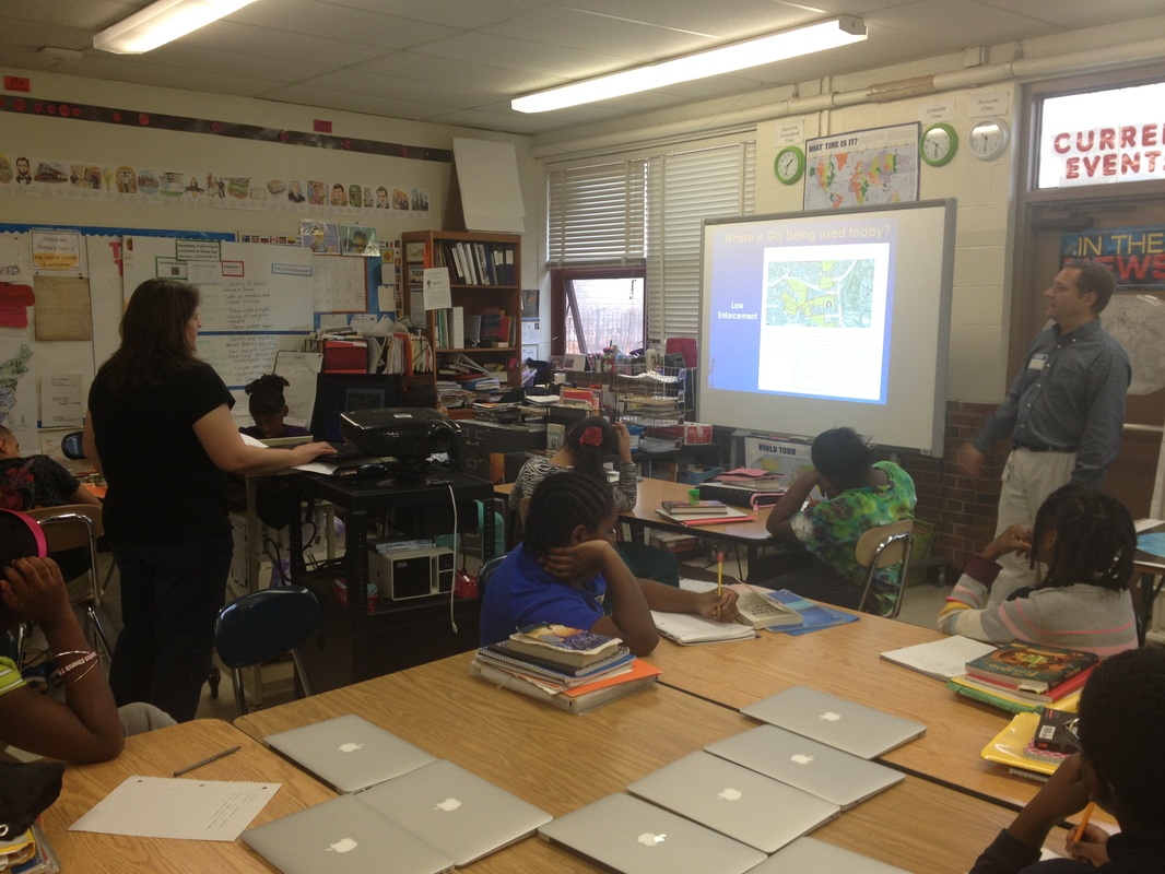
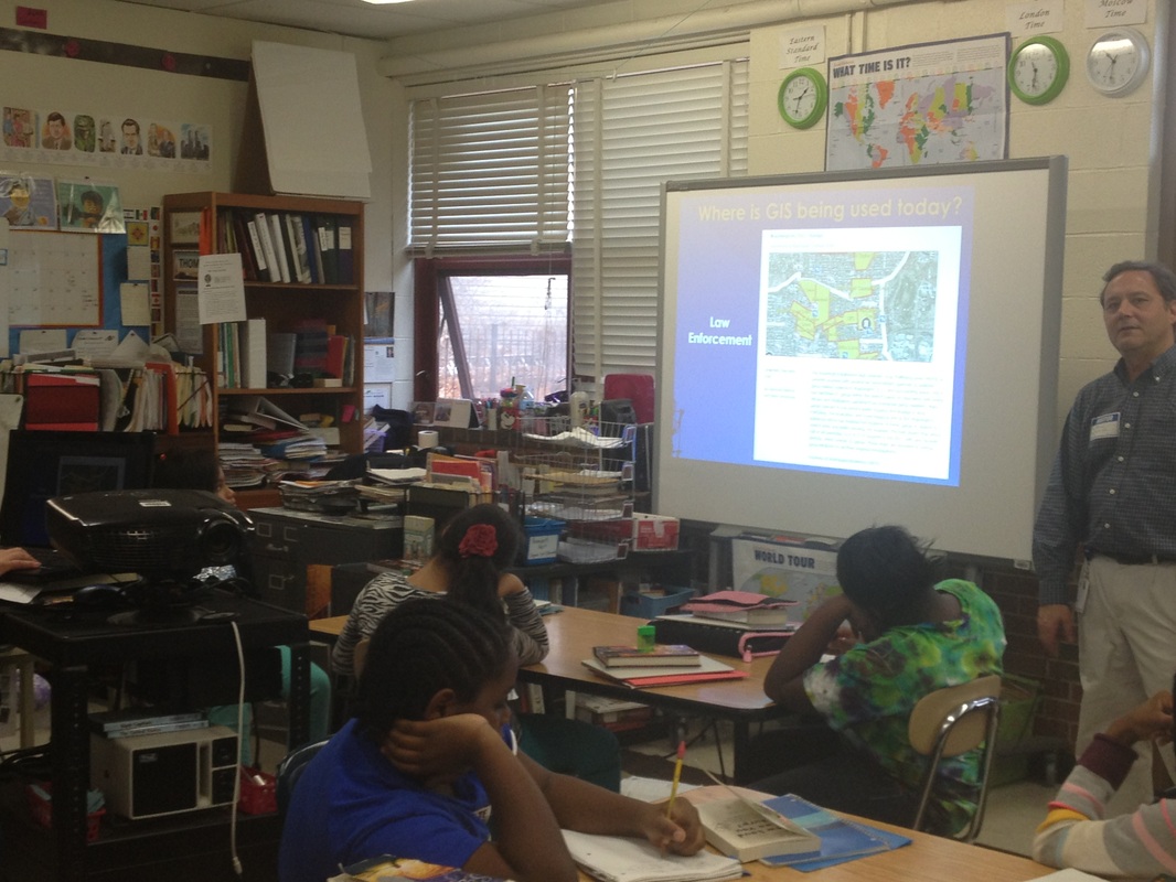
Brett Flodine:
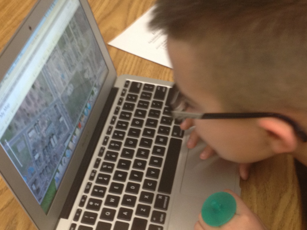
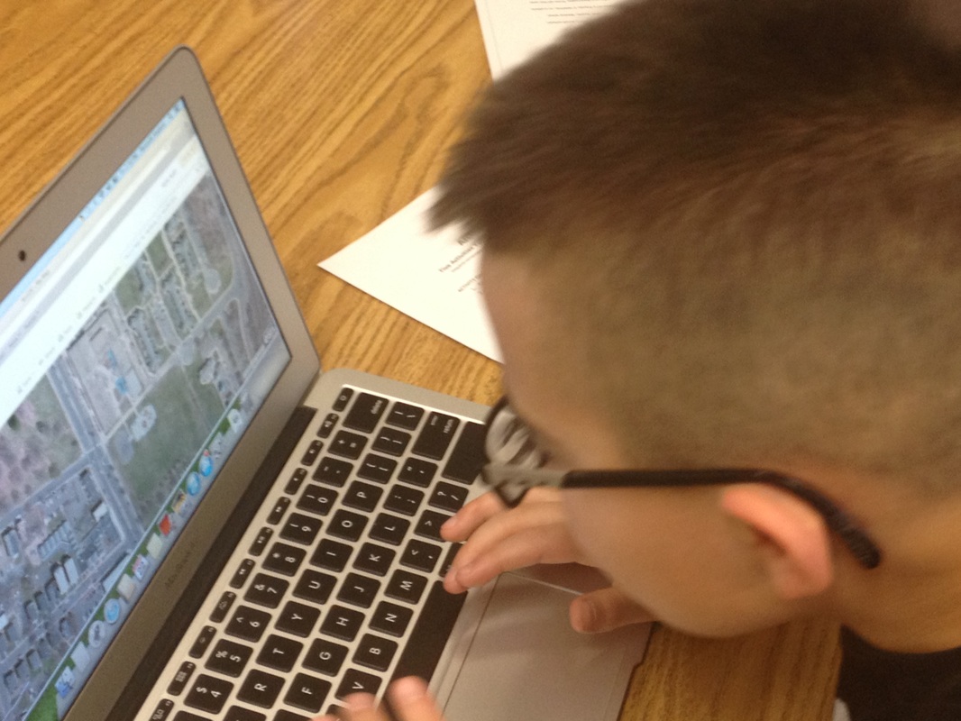
Geographic Information Systems (GIS)
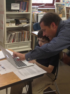
Students learn about GIS from Brett Flodine and have an opportunity to explore the ESRI mapping website.
|
Students used the ArcGIS website to create their own map. They completed the activities in the file below to learn more about the tools of the online tool.
If you would like to explore this tool, go to ArcGIS online and click on 'Map.'
| ||